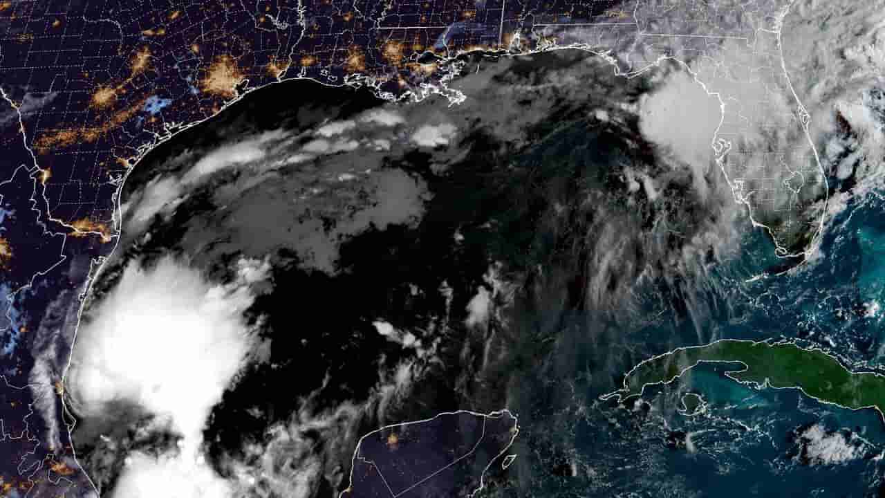
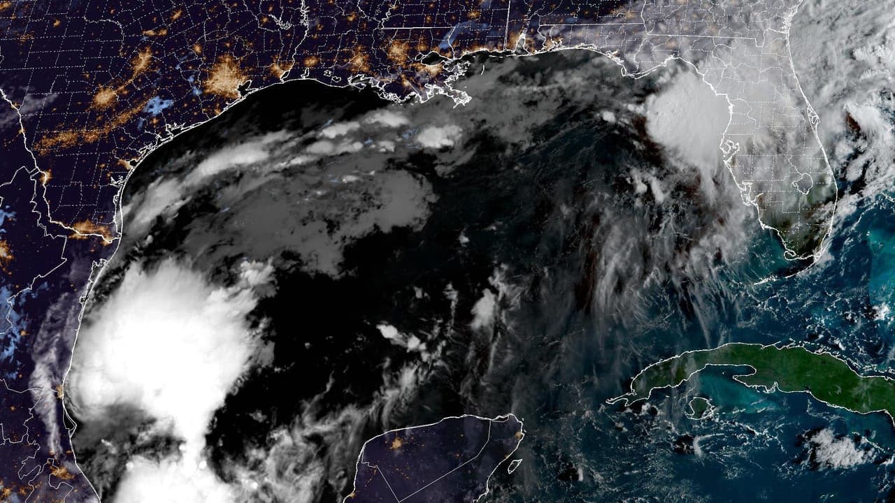
A broad area of low pressure over the southwestern Gulf, tracked by the National Hurricane Center (NHC) as Invest 92L, is showing signs of organization and is expected to become a tropical depression within the next day or so. The NHC put the chance of formation at 90 percent over both the next 48 hours and the next seven days in its 8 a.m. EDT outlook on Tuesday, October 6.
If the system's sustained winds reach 39 mph, it will be named Tropical Storm Isaias, the ninth named storm of the 2026 Atlantic hurricane season. Forecasters expect the disturbance to drift east first, bringing gusty winds and heavy rain to the western Yucatan Peninsula, then turn north or northeast toward the northern Gulf Coast by the end of the week.
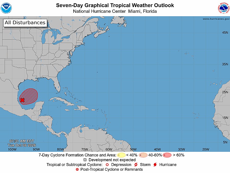
The NHC said it is still too early to determine specific impacts, but residents from the Florida Panhandle to Louisiana should closely monitor the system. A NOAA Gulfstream jet was scheduled to sample the environment on Tuesday, and an Air Force Reserve reconnaissance aircraft is set to investigate the system on Wednesday. Forecasters noted that strong wind shear over the northern Gulf could limit strengthening, while computer models still disagree on the track.
Heavy rain and localized flooding are possible this weekend from south Louisiana through the Mississippi and Alabama coasts to the Florida Panhandle, an area where recent rainfall has already saturated the ground. Residents are advised to follow NHC updates at nhc.noaa.gov and local emergency officials, prepare water, medication, flashlights and chargers, and never drive through flooded roads.