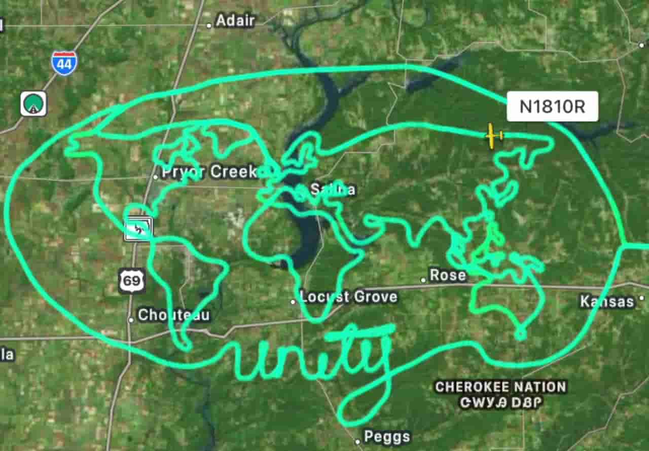
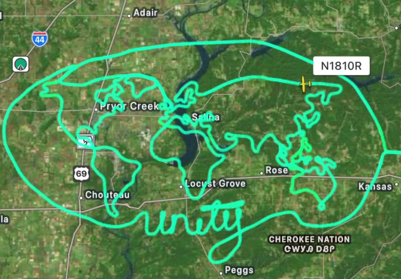
Flight-tracking maps have captured a Cessna sketching a giant map of the world across the skies of northeastern Oklahoma — and then signing it with “unity,” written in cursive underneath.
Flying the plane registered N1810R, the pilot followed the shapes of the continents over Cherokee Nation lands and the areas around Chouteau, Locust Grove, Salina and Pryor Creek, before closing the whole design inside a large oval.
From the Mona Lisa to a world map
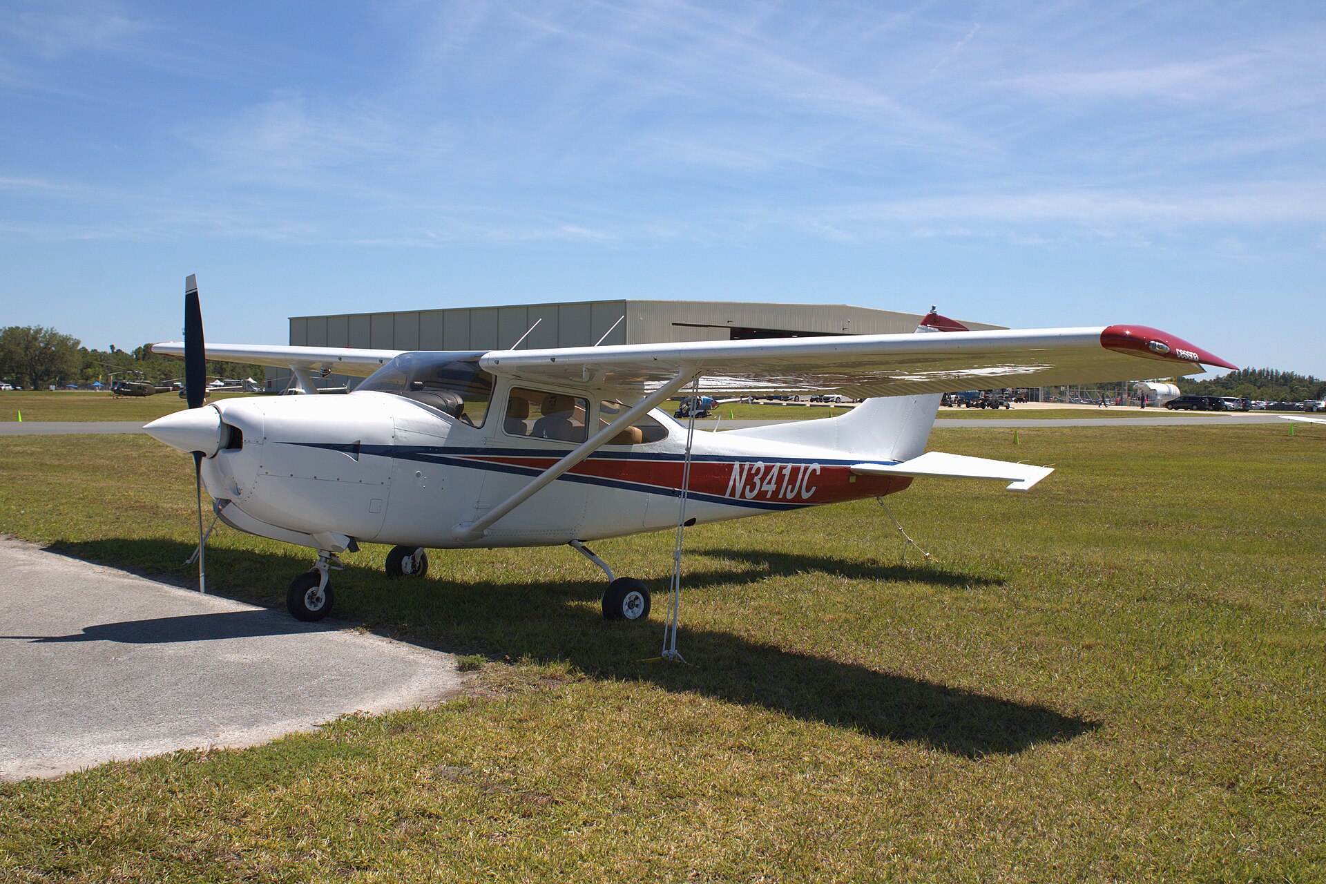
The aircraft is a Cessna R182, and Federal Aviation Administration records show it is registered to Benjamin McDaniel. On Sept. 18 it lifted off from Bentonville Municipal Airport in Arkansas for a nearly four-hour flight that drew Leonardo da Vinci’s Mona Lisa along the border between Oklahoma and Arkansas; AirNav Radar, a flight-tracking service, recorded the route.
Following the Mona Lisa, another flight that departed from Bentonville left behind a giant fingerprint and the message “you are loved.”
‘You get one shot’
Speaking to Simple Flying, McDaniel said his path into aviation began in 2020 with a discovery flight. He studied aviation management at Auburn University and went on to teach flying as an instructor.
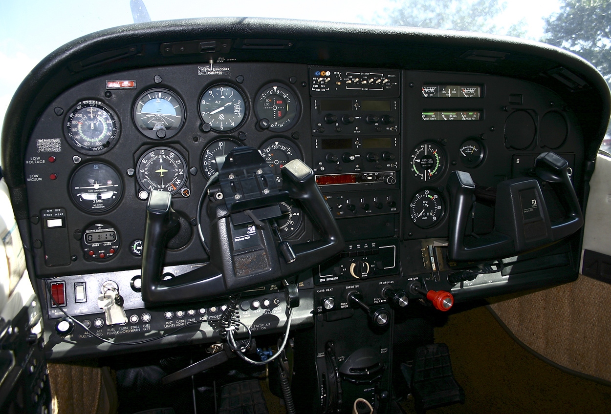
His sky drawings date back to the fall of 2023, when he began with basic shapes and words. He maps each route in advance using ForeFlight and an Apple Pencil. “I started sky art as a fun way to build hours and stay sharp outside of instructing,” he said.
McDaniel said there is no room for retakes: “These flights take a few hours. You get one shot. No redos.” He added: “The Mona Lisa is the favorite right now. It’s the most ambitious one I’ve finished.”