This week, the US is experiencing extreme heat and severe storms simultaneously. With summer temperatures officially setting in, the heatwave is expected to continue into next week.
Friday is shaping up to be one of the hottest days on the East Coast. Cities like Baltimore, Washington, New York, Philadelphia, and Raleigh may see new temperature records. On Thursday, Raleigh recorded a temperature of 101 degrees Fahrenheit.
In New York, cooling centers were opened on Thursday as temperatures rose above 90 degrees Fahrenheit. The combination of high heat and increased humidity raises the perceived temperature to between 95 and 105 degrees Fahrenheit, reaching dangerous levels. However, temperatures are expected to drop somewhat over the weekend in the region.
On the West Coast, record highs are anticipated on Sunday and Monday. Forecasts suggest temperatures could exceed the high 90s and reach above 100 degrees Fahrenheit. Portland and Seattle may approach new records next week.
Storm line to persist through the weekend
Severe storms will continue to affect many parts of the country through the weekend. On Thursday, a total of 500 storm reports were filed, marking the third busiest day so far in 2026.
More than a dozen tornadoes were reported in Illinois, Indiana, and Wisconsin. Significant damage occurred in Illinois, with some homes destroyed and neighborhoods left in ruins. The small town of Streator suffered heavy damage to an entire street due to tornadoes.
Neighbors of a destroyed home recounted that a couple inside was trapped under debris but later rescued. Another man trapped under the remains of a house reportedly suffered a broken leg and was rescued by police.
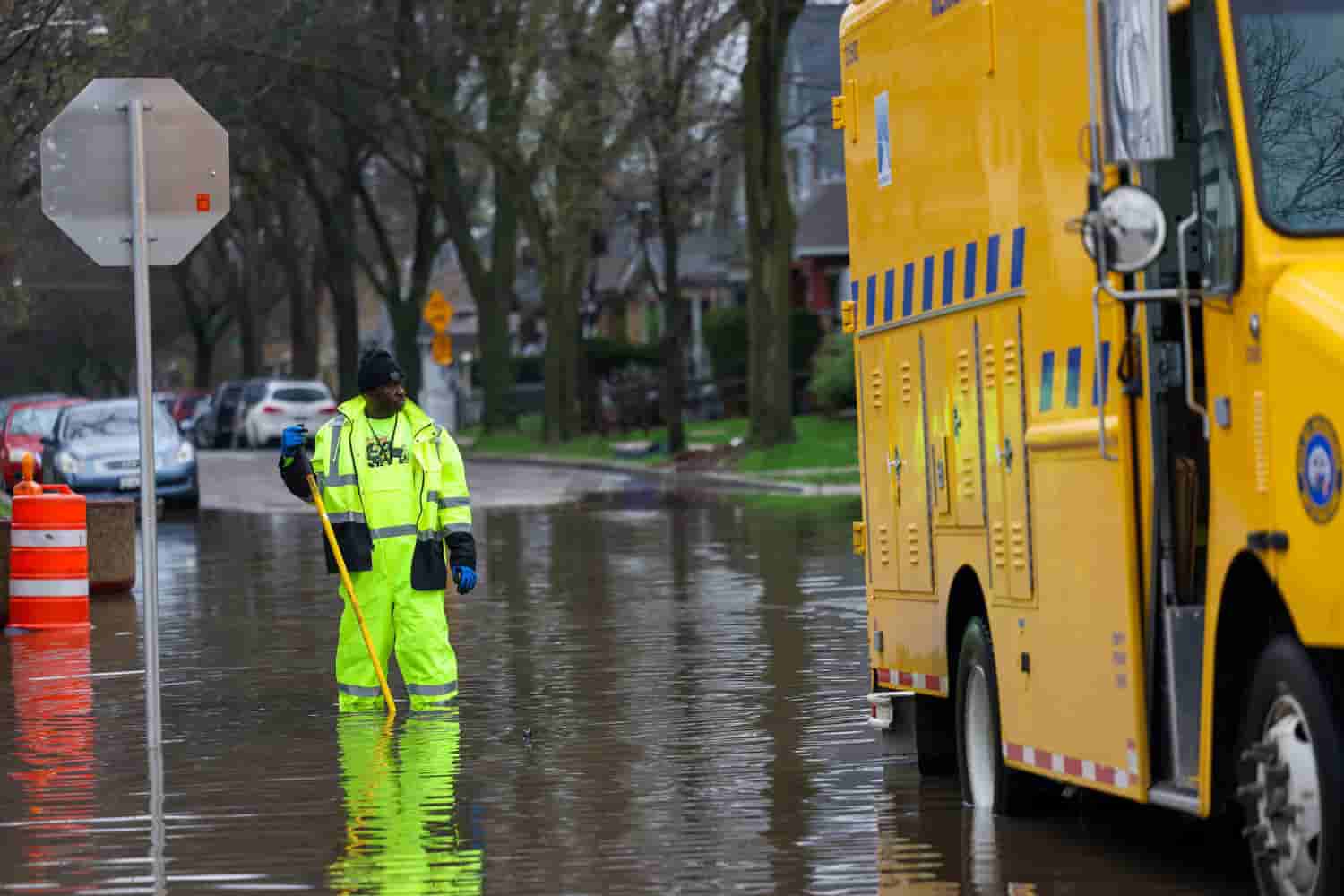
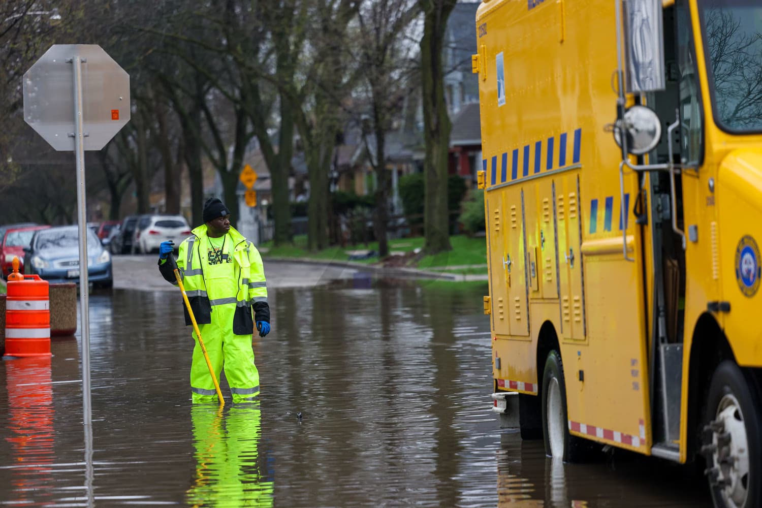
The storms also brought large hail to the Midwest. In Iowa, vehicles were damaged by hail, while roads from Wisconsin to Pennsylvania were flooded, and heavy rain reduced visibility to near zero.
As of Friday morning, no fatalities related to the storms have been reported. However, the risk has not fully subsided over the weekend.
New risk areas identified
On Friday, 66 million people in two separate regions could face renewed severe storm risks. The largest danger zone covers the Mid-Atlantic, Appalachians, and Northeast, with the greatest threat being destructive winds.
Cities closely monitored on Friday include New York, Philadelphia, Washington, Baltimore, Raleigh, and Charlotte. In the West, parts of western Oklahoma, the Texas Panhandle, New Mexico, Colorado, and small areas of Kansas face potential hail, strong winds, and a few tornadoes.
On Saturday, the risk will shift back to the Midwest and Plains. Approximately 14 million people along a line from northern Oklahoma to Illinois and Iowa could be threatened. Wichita, Kansas City, St. Louis, Des Moines, and Peoria are among the cities under close watch.
In these areas, wind gusts over 75 miles per hour, hailstones larger than two inches, and several tornado possibilities are expected. On Sunday, severe weather may return to the Mid-Atlantic, affecting a 23 million population area including Richmond, Norfolk, Washington, Baltimore, and Philadelphia, with destructive winds exceeding 60 miles per hour.