- BIST10011,722-2.89%
- USD49.45+0.05%
- EUR55.62+0.37%
- GOLD4,181.10+0.26%
- INTEREST37.00%-1.00
- BITCOIN81,509+0.01%
- October 17, 202613°
- BIST10011,722-2.89%
- USD49.45+0.05%
- EUR55.62+0.37%
- GOLD4,181.10+0.26%
- INTEREST37.00%-1.00
- BITCOIN81,509+0.01%
- October 17, 202613°
Trump again posts map renaming Strait of Hormuz “Trump Strait”
President Donald Trump posted a map on Truth Social labeling the Strait of Hormuz “Trump Strait” for the second time in two days, after rejecting Iran’s seven-day plan to reopen the waterway.
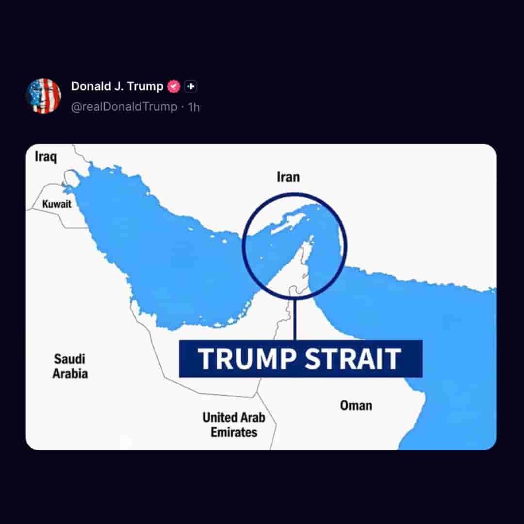
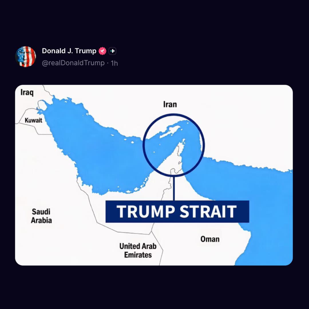
US President Donald Trump on Sunday posted a map on his Truth Social platform showing the Strait of Hormuz circled and labeled “Trump Strait.” The post, which carried no text, showed the Persian Gulf with Iraq, Kuwait, Saudi Arabia, the United Arab Emirates, Oman and Iran marked around it.
It was the second time Trump shared such an image in two days; he first posted a “Trump Strait” map early on Saturday, the same day he rejected Iran’s proposal for a seven-day roadmap to reopen the strait and resume nuclear talks.
“They made a proposal, but I rejected it,” Trump told reporters outside the White House. “They want to make a deal where they open the strait immediately because they’re losing so badly,” he said, claiming the United States has “total control” of the waterway. Under the Iranian plan, Tehran would reopen the strait if Washington lifted its naval blockade of Iranian ports, waived sanctions on Iranian oil sales and observed a ceasefire including Lebanon.
Stay Updated with Ally Daily
Subscribe to be informed about special news, developments and announcements. We will keep you informed.
By signing up, you agree to our Privacy Policy